Unsustainable practices pose longstanding threats to our deciduous forests, while issues such as water drainage, pollution and improper use further endanger the country’s vital wetland ecosystems. In Maryland, a research team is committed to using AI maps that contribute to the conservation of both these terrains.
The data science team at the Chesapeake Conservancy, based in Annapolis, already has experience transforming soil-related information into data. In early 2023, it introduced an innovative “AI wetlands model” that showed promising results in addressing the longstanding challenges associated with wetlands protection and conservation. Now, the organization’s research team has developed an advanced deep-learning model that uses satellite imagery to automatically map ground-mounted solar arrays.
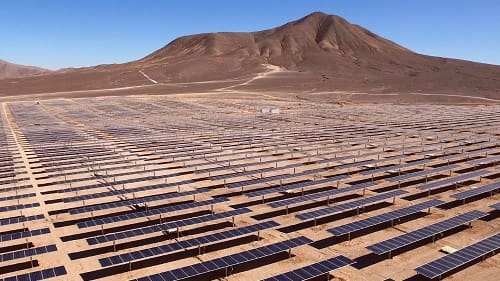
By employing this AI-driven system, the team created annual maps from 2017 to 2022 to assess the solar capacity, or the number of solar panels in given areas. The researchers found that solar capacity has been expanding at different rates across DC, Delaware, Maryland, Pennsylvania, New York, Virginia and West Virginia. Notably, Maryland and Virginia have experienced the most rapid growth in solar capacity. This growth is initiated by the installation of solar arrays, which are interconnected rows of solar panels often visible in fields during flights or drives through rural areas (and even on rooftops in urban settings).
READ FULL ARTICLE HERE


